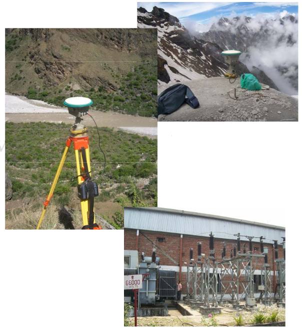
This project was carried out for the IL&FS and Uttaranchal State Govt. Joint Venture for Hydropower development. The project involved establishment of ground control points (GCPs) using Differential Global Positioning Systems (DGPS) in an area spanning about 3000 sq.kms covering the rugged Himalayan terrain with glacial landscapes. These points will be used to generate Digital Elevation Models and identify suitable sites for development of Hydropower generating stations apart from carrying out hydrological analysis.

The Indian Space Research Organisation (ISRO – RRSSC) has been the overall technical evaluator of the project.