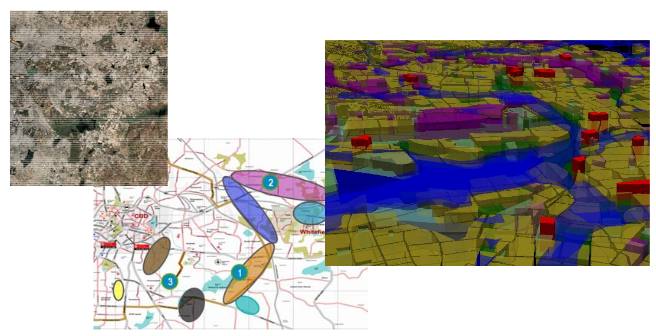
The project involved creation of GIS database using GPS survey and high resolution satellite images. Details on local hydrology with respect to flooding was also mapped.

Data related to employee travel time, educational facilities, public transport infrastructure etc were also incorporated to carry out the analysis. This project was carried out for NetApp India Pvt. Ltd.