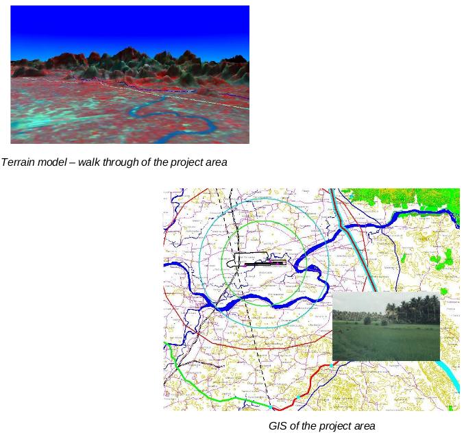
The project involved identification of three alternative corridors for alignment of the powerline from East Cochin to North Trichur in Kerala. The tasks involved preparation of a digital database of the topographic features using toposheets and satellite images from NRSA and plotting the bee-line and three alternate routes. Latest high-resolution satellite data was used for the project. The satellite data was digitally classified to make landuse map for refining the alignments.

The routes were planned keeping in mind standard practices of avoiding settlements, large water bodies, forest areas, hilly terrains etc as per the standard norms prescribed. This project was carried out in association with M/s AMDL for Power Grid Corporation of India Limited.