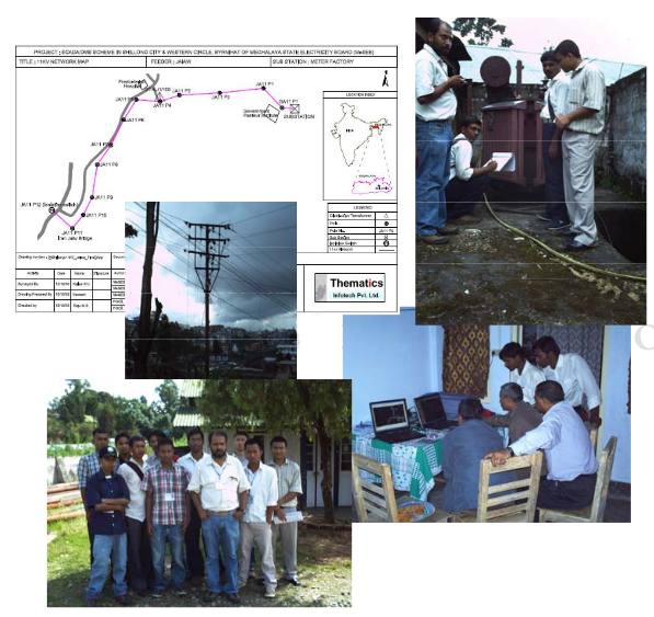
This project involves mapping of all electrical utilities along with individual consumer connections. All the 33kV, 11kV, LT Networks and service connections are being mapped. The project is jointly being implemented along with M/s Foresee Technologies for AREVA T&D. The end user is the MeSEB and Power Grid Corporation of India Limited. High resolution satellite images of Quickbird satellite, DGPS and GIS softwares are being used for implementing the project.

All the mapped data will be ported onto a GIS platform and the same will be used in the Billing Centers in the day to day activities of the MeSEB. The system will also be integrated with IVRS system to help consumers address their queries and post complaints.