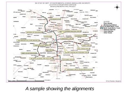
The project involved the transfer of surveyed alignment of the proposed metro rail onto a georeferenced base map by making use of a High resolution satellite image, locating the environmental sampling sites on the GIS and attaching the monitored data of analysis.

The other features included the location of the stations and the green cover that would be affected. The GIS created was well integrated with other thematic information including Comprehensive development Plan, Road and rail network and city survey sites.