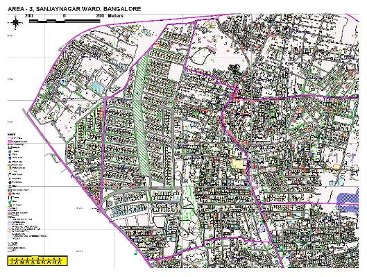
This project has been carried out for Bangalore Development Authority and Janaagraha. The source data that was used was data captured from aerial photography. Landuse of every building collected through a primary data collection survey by Janaagraha was incorporated into the GIS. This data has been built on 1:2000 scale. This exercise has been completed for 10 wards of the city corporation.
