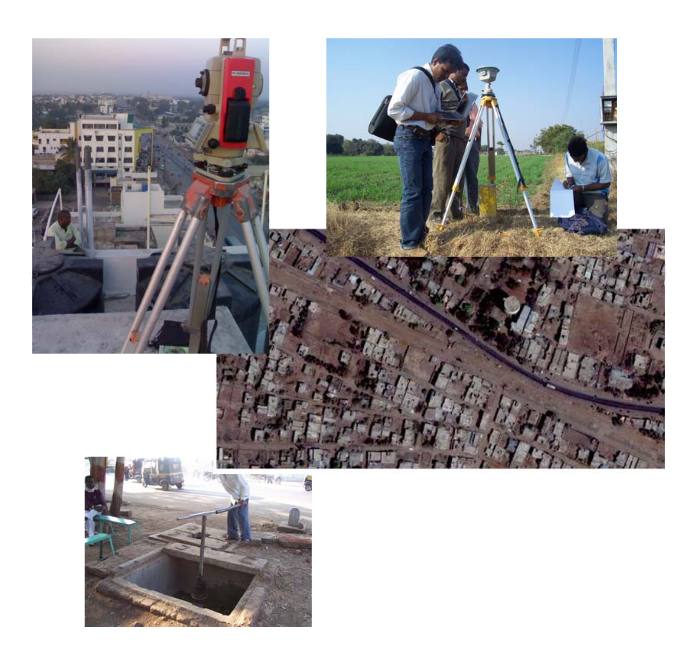
This project involved detailed mapping of Transmission and Distribution networks of water supply of Latur city. The project has been handled on behalf of the LWSMC – a joint venture between Hydrocomp, SPML and Maharastra Jeevan Pradhikaran, govt. of Maharastra. Apart from using DGPS survey for benchmark establishment, total stations, high resolution satellite images – quickbird of 0.6m resolution were used for preparation of the GIS database. About 600km of pipeline distribution network and 200 km of transmission main network has been mapped.

This data will be used further for incorporating consumer level details and integration with billing systems. This is a first of its kind privatized water management initiative in India.