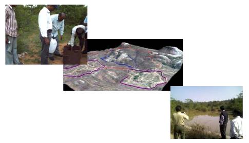
The project involved large scale mapping of the project area using DGPS, Total Stations and High Resolution Satellite images. The final data was used to prepare a Master plan for the Night Safari. Hydrological and Geotechnical Investigations were also carried out in order to have a thorough understanding of the substrata and to plan water conservation measures. The project was carried out for JLR Ltd., A government of Karnataka Undertaking.

