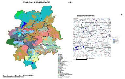
The project involved digitization of thematic maps preparation of GIS database of soils and administrative boundaries. The database was used for generation of agro ecological regions at local level. This work was carried out on 1:50,000 scale. This was carried out for the Tamil Nadu Agriculture University for Erode and Coimbatore Districts. Data sources: 1:50,000 scale toposheets and soil maps with other tabular data.

