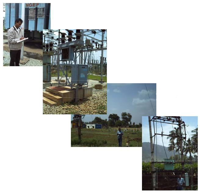
This project was carried out under a TEQIP aided grant for the Nandi Grampanchayath of Kolar District adjacent to Bangalore. This assignment was carried out for BMSCE, Bangalore. The work involved mapping of HT and LT network in the project area using GPS and High-resolution satellite imageries. All the DTCs in the project area coming under the network have also been mapped along with their details. All the consumers in the project area have been surveyed and integrated into the database.

The project also involved carrying out DGPS survey for establishing control points and rectification of high resolution satellite images. GPS systems were extensively used for recording positions of all the electrical assets such as poles, transformers etc.
